accurately determined and made available to the controller. If a tactical air navigation aid (TACAN) or
VHF omnidirectional range and TACAN (VORTAC) is located within 6,000 feet of the radar antenna,
the TACAN or VORTAC may be used as a reference fix or radar identification without being displayed
on the video map overlay.
NOTE: Visual reporting points used for radar identification are limited to those most used by pilots and
whose range and azimuth have been determined by supervisory personnel.
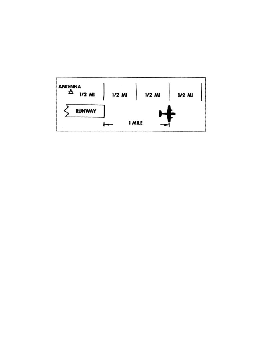
Figure 1. Departing Aircraft.
(3) Observe a target making an identifying turn or turns of 30 degrees or more, provided the
following conditions exist:
NOTE: Using identifying turns or headings that would cause the aircraft to follow normal IFR routes or
known VFR flight paths might result in misidentification. When these circumstances cannot be avoided,
additional identification methods might be necessary.
(a) Except in the case of a lost aircraft, when you received a pilot position report, it assures
you that the aircraft is within radar coverage and within the area being displayed.
(b) Only one aircraft is observed making these turns.
(c) For aircraft operating according to an IFR clearance, you do one of two things. You issue
a heading away from an area that requires an increased minimum IFR altitude, or
4
AV0905


 Previous Page
